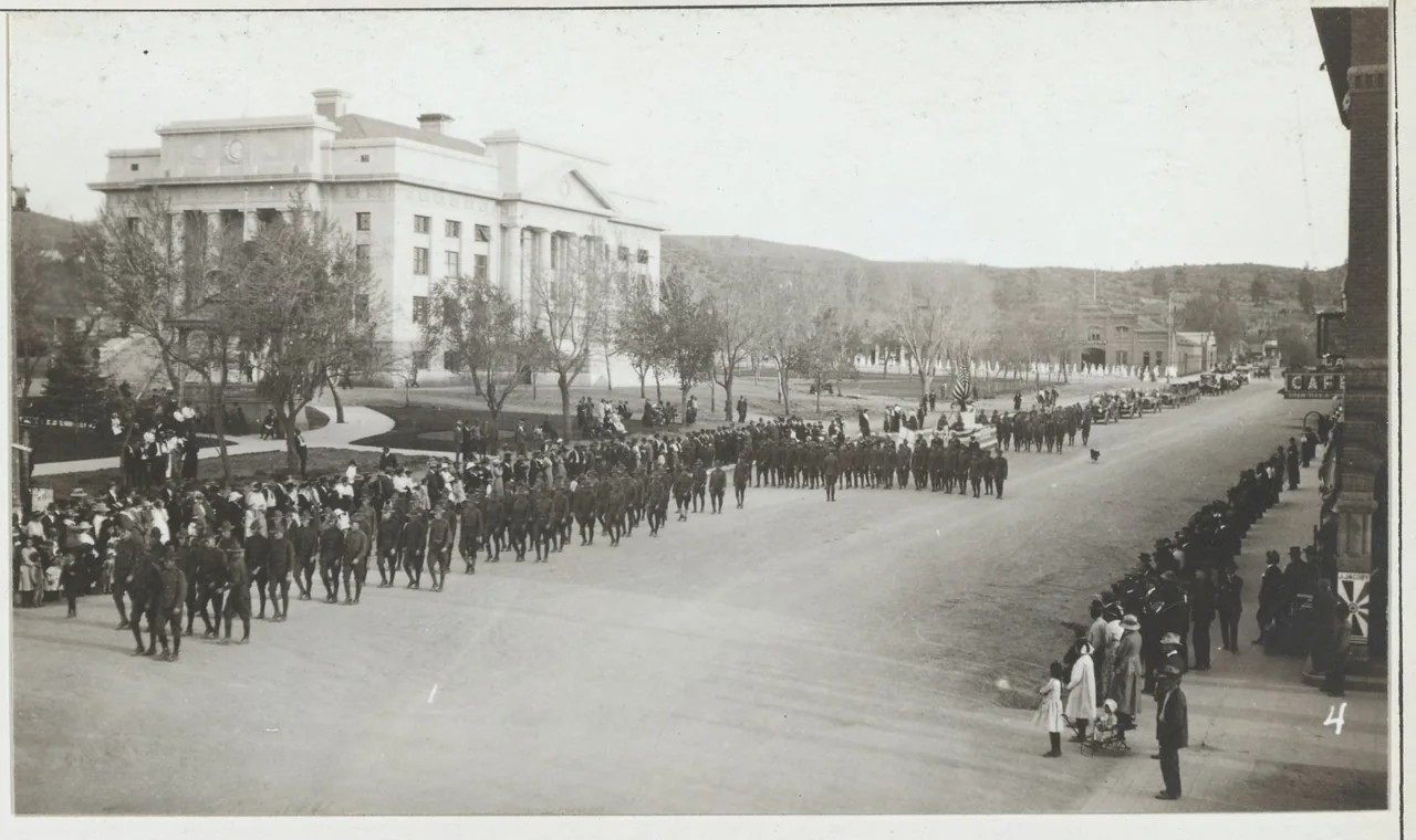
National Archives, 165-WW-234B-7 · National Archives: unrestricted use
Archive record ↗
Follow Prescott's official Heritage Trail around Courthouse Plaza and nearby historic landmarks. The tourism office suggests completing the route in 90 minutes or exploring a few stops at a time.
The short sequence below introduces several central stops; use the linked official map for the full trail and its numbered interpretive sites. Start with the visitor center's current map, then look for the courthouse, plaza monuments, and the Montezuma Street frontage. This route links the territorial capital to later civic life without requiring a booked departure.
Address: Courthouse Plaza, downtown Prescott, AZ ↗ (Apple Maps ↗)
Approximate duration: About 90 minutes for the official trail; longer with museum visits
Your self-guided route
Yavapai County Courthouse
Begin by looking at the courthouse and its position within the original town plan.
Rough Rider Monument
Find the plaza's Rough Rider statue, one of the interpretive sites on the official Heritage Trail map.
Montezuma Street / Whiskey Row
Cross at a designated crossing to examine the saloon district's commercial frontage.
Palace Saloon
Look at the rebuilt Palace façade and connect its masonry to the history of the 1900 fire.